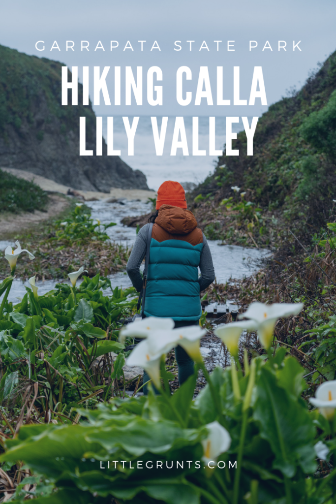
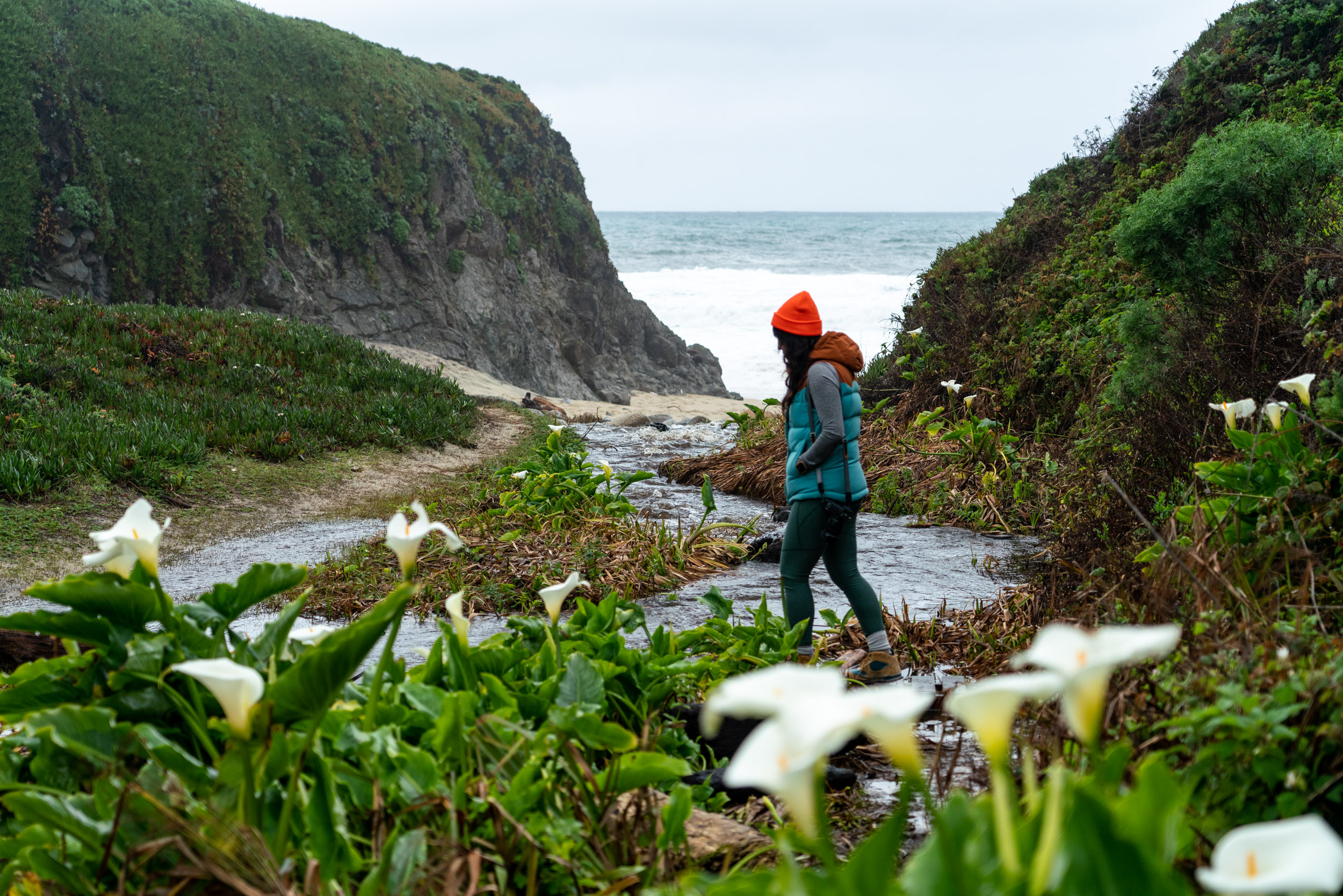
It’s another wet winter for California. This means I’m staying closer to home because snow sports aren’t at the top of my to-do list. With rain in the forecast this past weekend, I took the opportunity to head back to Big Sur. I wanted to check out Calla Lily Valley at Garrapata State Park.
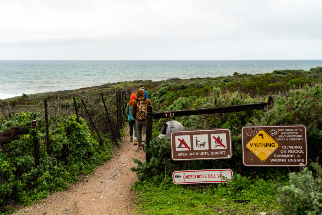
Garrapata State Park, just south of Carmel and Point Lobos State Park, is a destination that I’ve often overlooked while driving down to Big Sur. It’s not the biggest park, and the majority of the hikes are relatively short and flat.
Calla Lily Valley is no exception. This hike is half a mile, round-trip. It’s great for beginner hikers, families with kids, or outdoorsy picnic dates. Just watch out for poison oak.
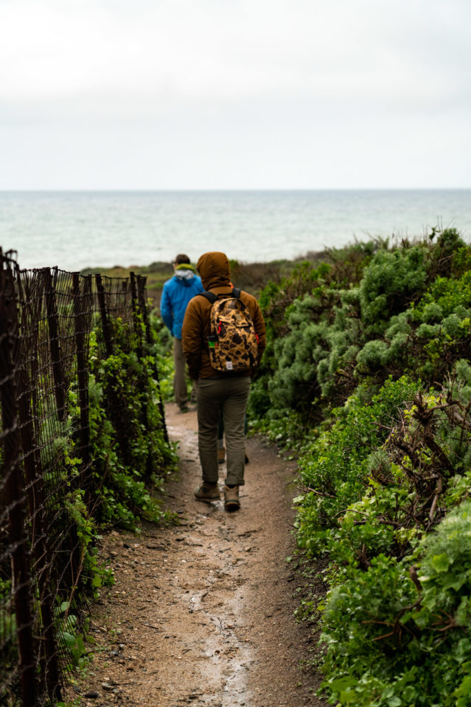
This time, though, I wanted to see what this park had to offer. And I already regret not spending more time here, in favor of flashier offerings in Big Sur.
How to get to Calla Lily Valley
The trailhead for this hike begins on the side of Highway 1. It’s easily found in Google Maps, or by mile marker 63. Marked by a discrete gate, this trail winds through brush (and poison oak).
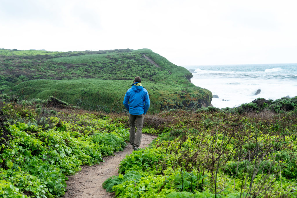
Follow the well worn, .25-mile trail as it trends left and down towards the ocean. Don’t be fooled by the lack of lilies. Calla Lily Valley is hidden from view on this trail.
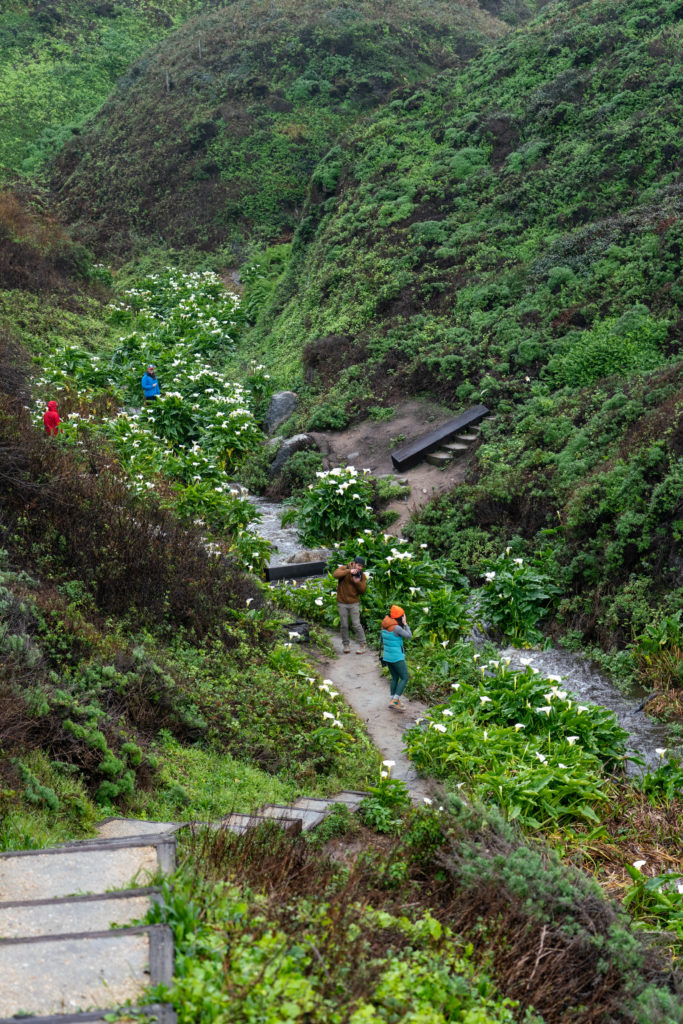
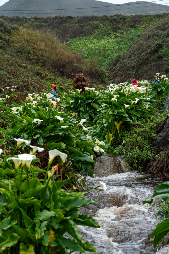
Soon, you’ll reach a set of stairs. These stairs descend into Calla Lily Valley, a small oasis, tucked off the side of Highway 1. You can hear cars buzzing by, this spot unbeknownst to them.
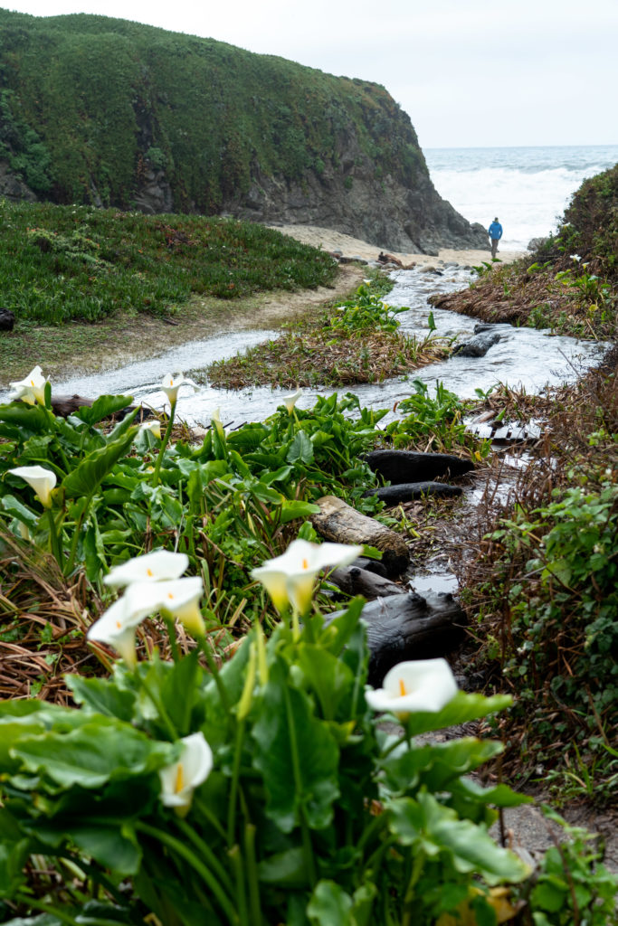
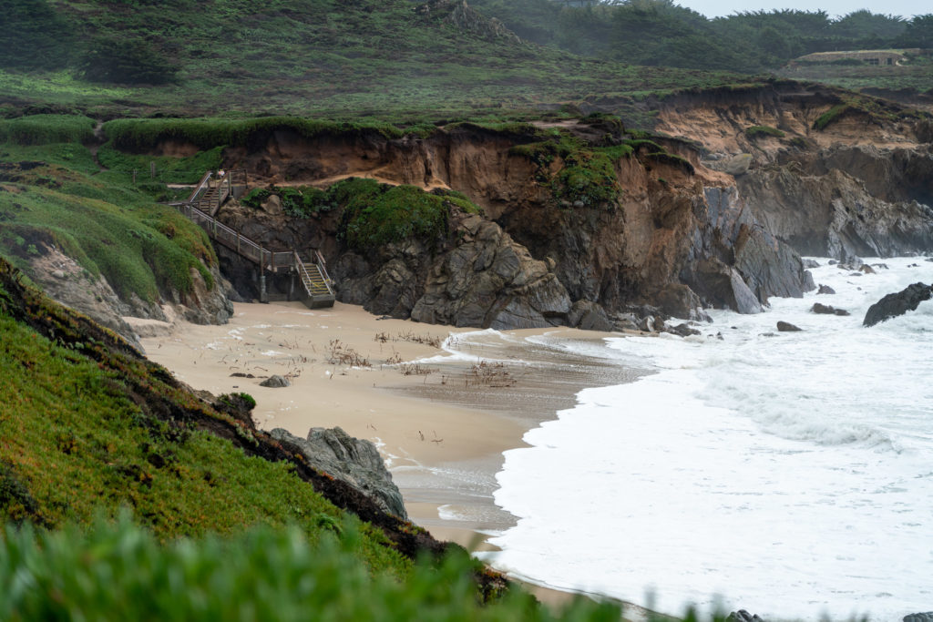
Calla Lily Valley extends from Highway One to the beach. When the dirt ground transitions to sand, the lilies peter out. The calla lilies only exist in this little canyon.
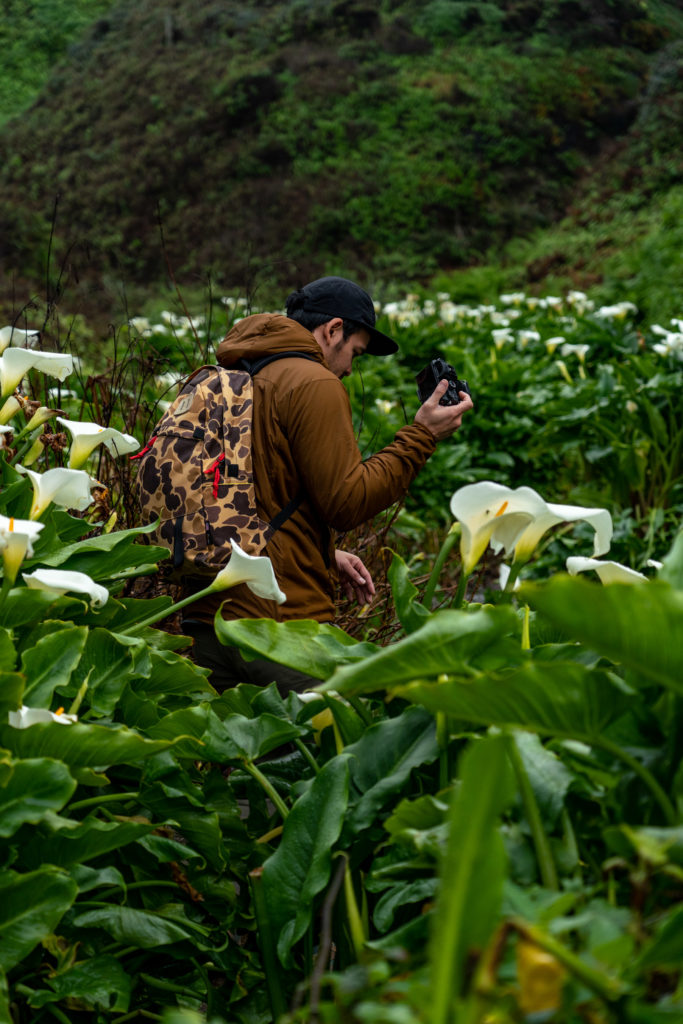
Don’t forget to take some time to explore the rest of the area.
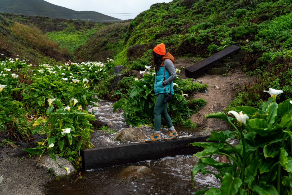
Cross the creek on the precarious beam. Watch your footing. This beam wiggles. Be careful your weight distribution and move quickly!
Hike back up onto the coastal bluffs. The view from up here doesn’t disappoint. You can even look down into Calla Lily Valley, and you can see some of the famous Big Sur coastline.
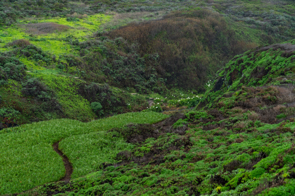
Once you’re ready, retrace your steps back down into the valley and up the other side. Head back to the car the way you came.
When is the best time to visit Calla Lily Valley?
Visit in late winter or early spring when the calla lilies are blooming! We were lucky. A friend who had visited here previously tipped us off.
For the best conditions, visit during the wet season, during or after a good rain. Everything looks so green, lush and vibrant.
If there’s nary a cloud in the sky, try the golden hour. The beautiful golden light before sunset will make Calla Lily Valley absolutely glow.
Where do the calla lilies come from?
Calla lilies in Calla Lily Valley and the rest of California are actually invasive species. Native to South Africa, these plants where brought over to for ornamental reasons.
What’s next? Where else can you go in Big Sur?
Hike the beautiful redwoods at Limekiln Falls. Hustle down to Cone Peak for sunset. Take a dip in the Big Sur River Gorge.
Last updated on March 2, 2019.

2 comments
Loving your posts! You should check out the Soberanes Canyon Loop Hiking Trail if you are looking for a good elevation hike in Big Sur (5ish miles)! It is technically closed but the rangers said it just means they aren’t maintaining it (and not really enforcing the closure). It used to be our favorite hike before the fire/mud slides.
The Andrew Molera loop (~8 miles) is another popular but hilly one nearby.
Thanks a lot for your posts. I like the title and start reading your beautiful excursion. Thanks for all the good details and pictures. I have gone to Point Lobos many times but never knew the Calla-Lily Valley. I will visit it this summer. I like to explore and this spot & Garrapata Park is a must. Thanks again