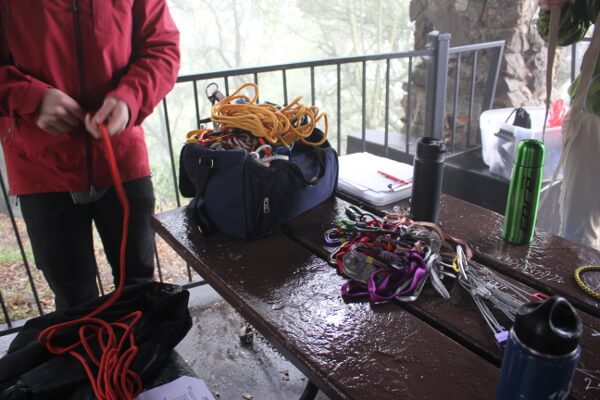
Hi, my name is Paulina and I don’t know how to set anchors. After many climbing trips of sheepishly admitting to my friends that I don’t know how to, I decided to change that. Over the weekend, I took an anchors and self-rescue class with SAANO Adventures. Woke up bright and early on Saturday morning to head to Cragmont Park in Berkeley, CA.
bay area
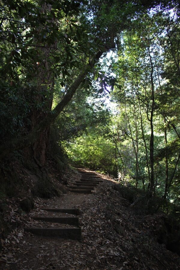
On Saturday morning, I set off to do a bit of solo hiking in Portola Redwoods State Park. I had a few hours to kill and wanted something a little more remote and quiet than the open space preserves in the area. This park is one of the hidden gems in the Bay Area, tucked away off of Skyline Blvd in La Honda, CA.
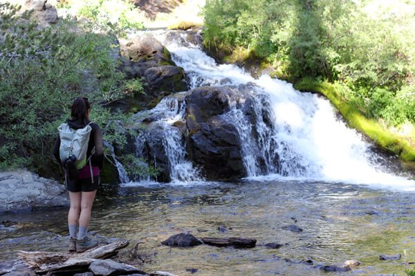
I decided to check out Tiptoe Falls in this severe drought to see if it still even existed. There are currently campground closures throughout the park and no running water throughout the park. My first stop would be Tiptoe Falls, approximately .5 miles away from the parking lot. The trail descended to Pescadero Creek, which had such low flow volume it appeared stagnant.
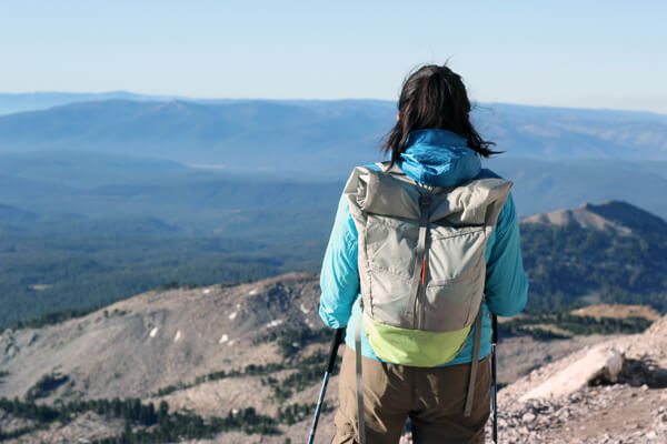
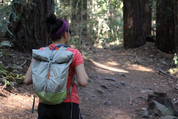
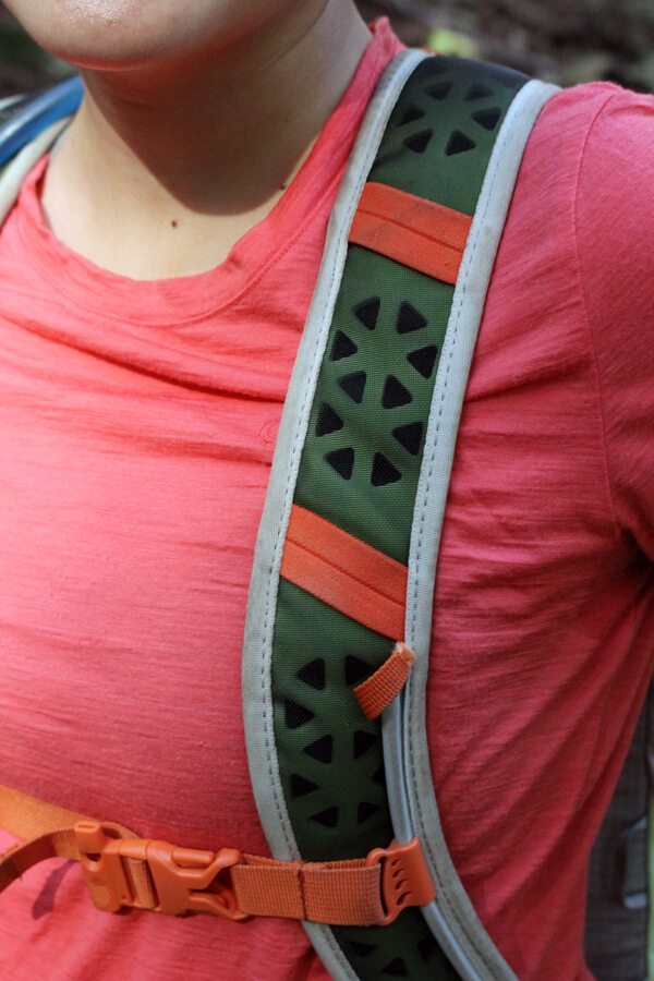
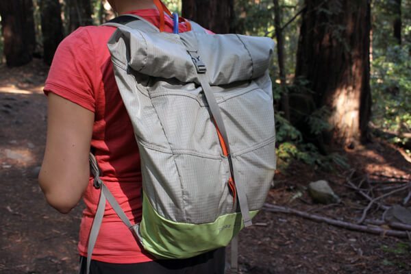
Boreas Gear, sister company of Alite Designs, is a San Francisco-based company specializing in ultra-cool packs and tents. I got the chance to test out their lightweight & minimalistic commuter bag, the Topaz 25, over the past few months.
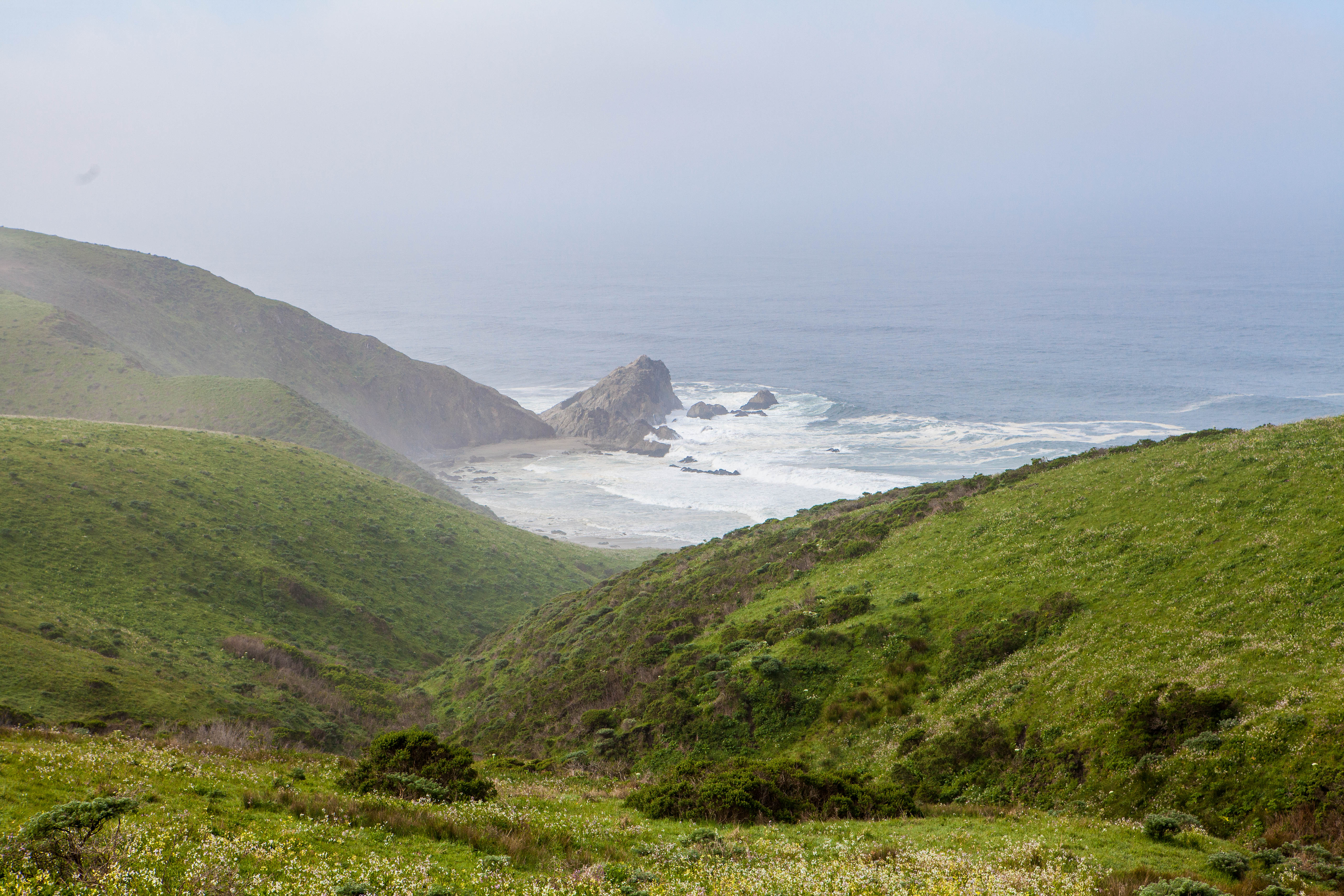
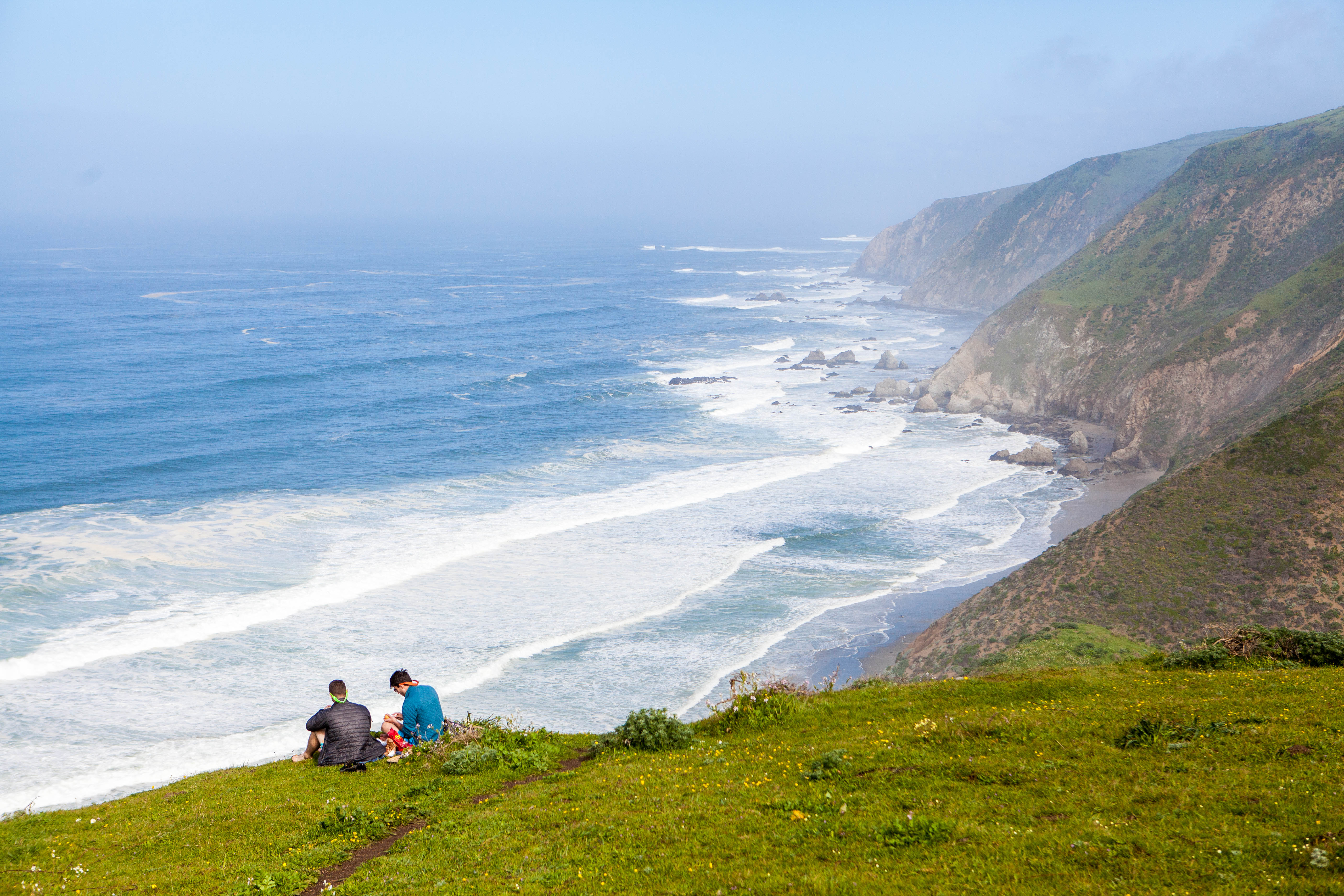
The Tomales Point trail at Point Reyes National Seashore is one of my favorite trails in the Bay Area. It’s a moderate 9.4 miler out in the tippity top of Point Reyes. The drive from the Bay Area is kind of a pain. The weather can be unpredictable–it’s one of the windiest spots on the west coast–but when you’re out there, the annoyances disappear.
Read on to see why.
Hike: Resolution Trail, Plane Crash and Vista Point
Where: El Corte Madera Open Space Preserve
Trailhead: Star Hill Road
Level: Moderate
Duration: 1 hour and 40 minutes
Length: 4.7 miles
Gear: Icebreaker Women’s Tech T Lite T-Shirt, Arc’teryx Delta LT, Lululemon leggings, REI Flash 18 Pack
,
and Ahnu Sugarpine Waterproof Boot
Cost of Parking: Free
Had a rare day off several weeks ago with no real plans, so I called up my friend, Karl of Alpha Roaming, to see what kind of mischief he was stirring up for the day. We decided to go chase some plane crashes near El Corte Madera Open Space Preserve.
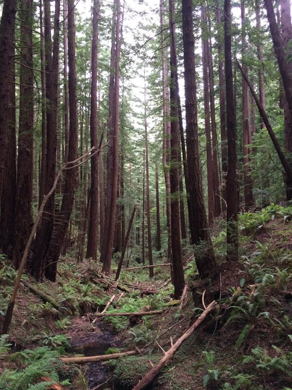
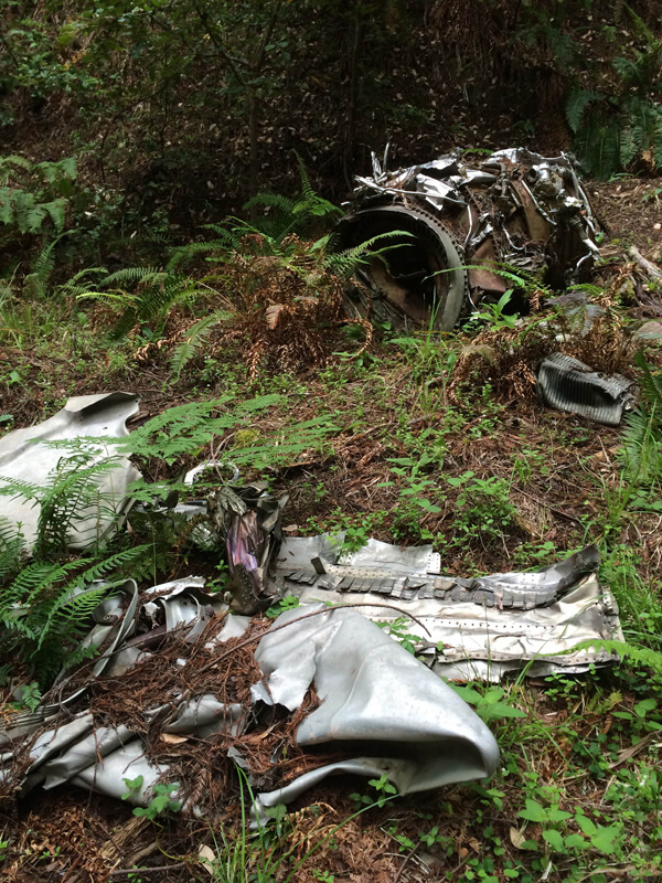
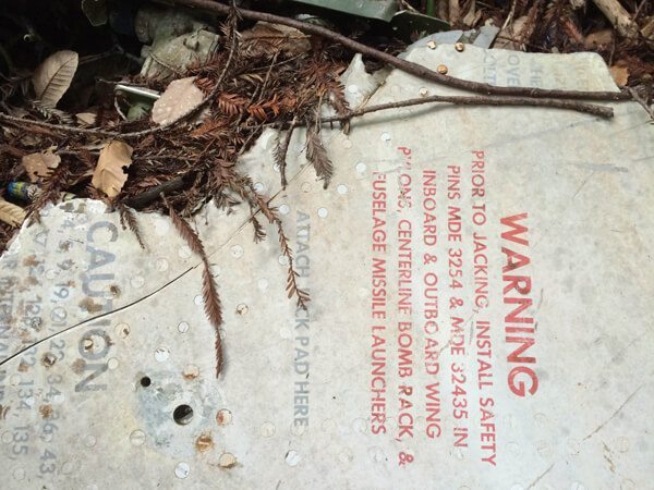
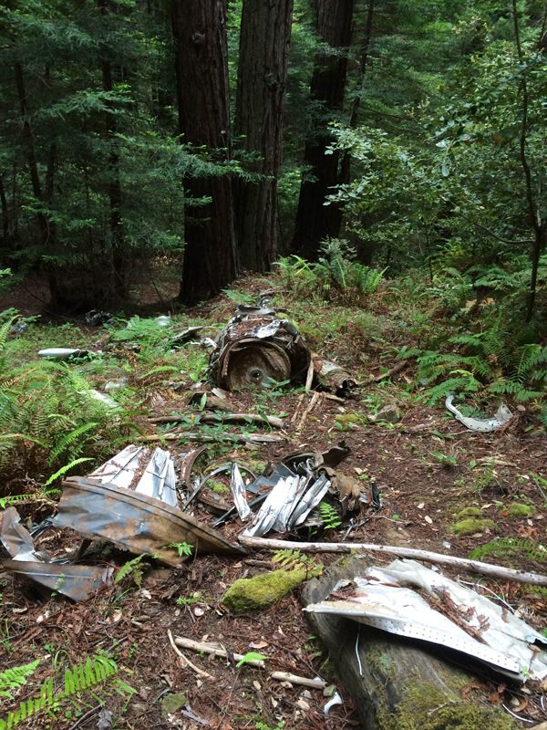
The first and more interesting plane we stopped by, well, is sort of a secret to preserve the sanctity of the crash. This plane found its final resting site nestled among dense redwoods. Story goes that the pilot was coming in too close and abandoned plane before it crashed here. However, not much is known about this wreckage.
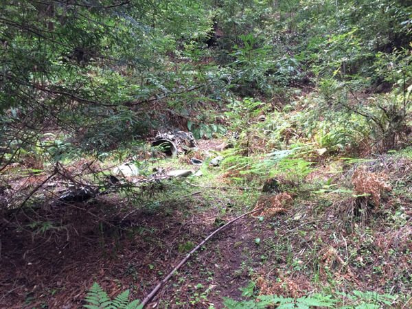
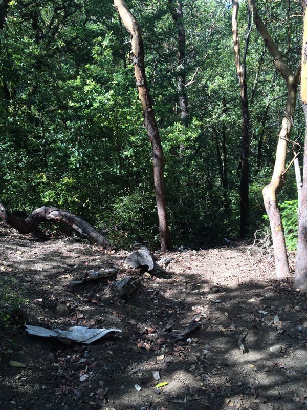
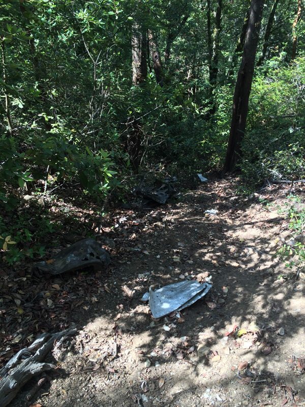
The second crash site lies within El Corte Madera Open Space Preserve off of the Resolution Trail. It’s pretty easy to miss if you don’t know what you’re looking for. Most of the debris has been picked over, and supposedly, a lot more of it lies down the steep hill. We started at Star Hill Road, headed down the El Corte Madera Creek Trail to the Resolution Trail and up to the Vista Point. Near the Vista Point, a memorial plaque is dedicated to the 19 people who perished in the Resolution plane crash on Kings Mountain. More information can be found about the crash here.
For more information on the above two crash sites, please visit Karl’s blog post here.

