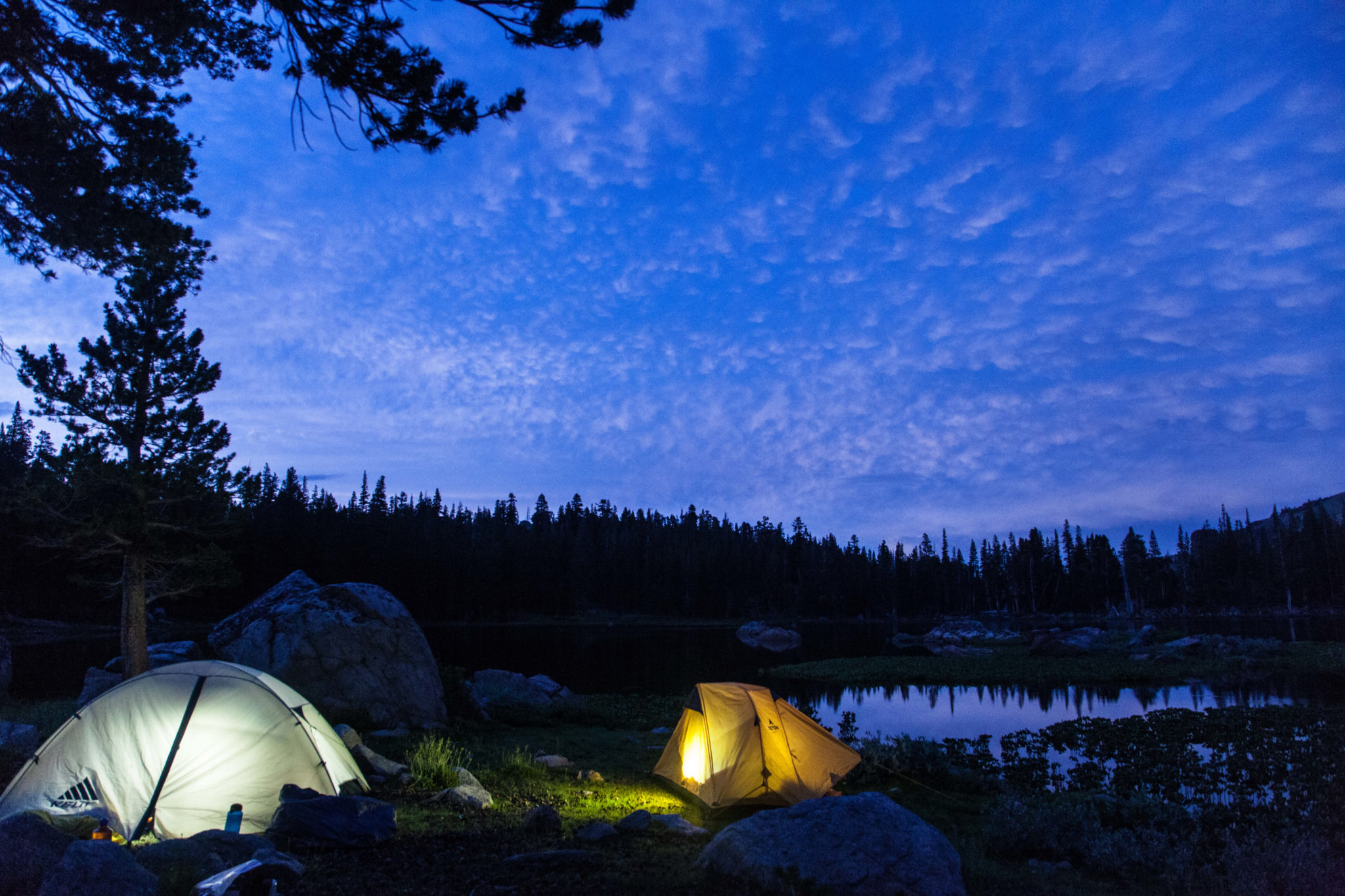
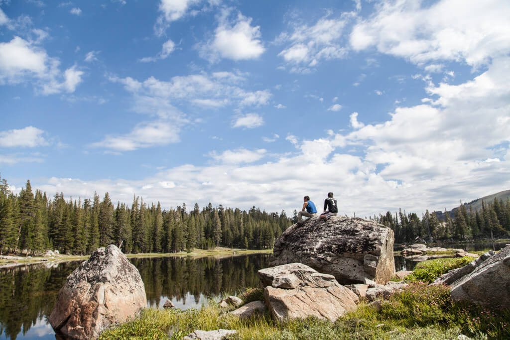
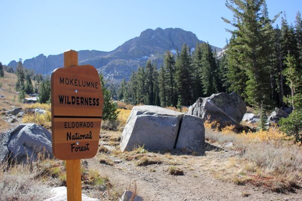
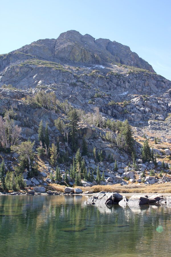
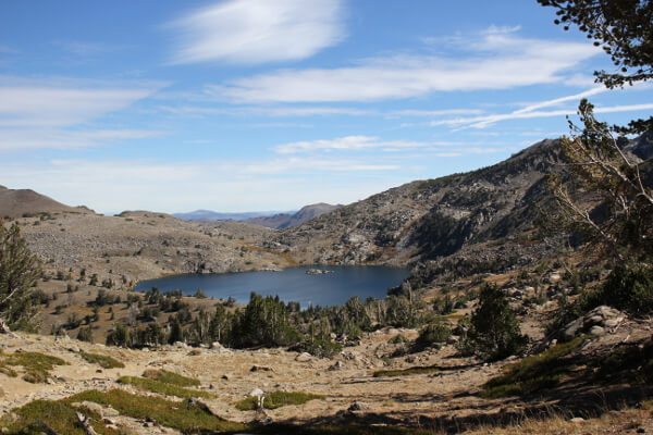
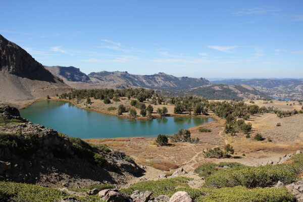
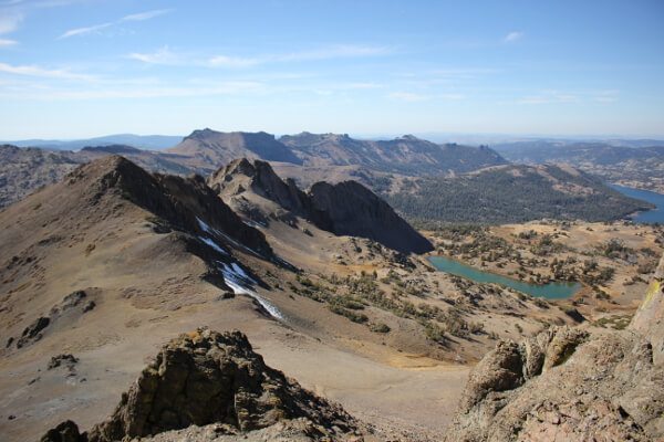
My little brother just got back from a brief stint of backpacking through Europe. With his heart still full of adventure, he asked me to take him out somewhere, anywhere. He didn’t give me any criteria and said he was down for whatever, but the first time someone goes backpacking will obviously make or break their experience. After much hemming and hawing, Meiss Lake in Mokelumne Wilderness was my pick.
el dorado national forest
Hike: Freel Peak
Where: Lake Tahoe Basin
Trailhead: Trout Creek, at the end of Oneidas St.
Level: Strenuous
Duration: 7 hours
Length: 7 miles?
Gear: Outdoor Research Cathode Vest, Outdoor Research Mainstay Beanie, Icebreaker BodyFit 200 Oasis Crew Long-Sleeve, NW Alpine Gear Black Spyder Hoody, REI Sahara pants, Arc’teryx Alpha SL Hybrid jacket, Boreas Topaz 25 pack, Black Diamond Ultra Distance trekking poles, and Salewa Alp Trainer Mid GTX boots
Cost of Parking: Free
On my quest to get OGUL recognition, I decided to tackle Freel Peak, the tallest peak in El Dorado County and in the Lake Tahoe Basin. I opted not to begin at Horse Meadow; I wasn’t sure that my car could handle the gnarly Forest Service roads. Instead, I began at Trout Creek, at the end of Oneidas St. and fully paved up to the trailhead.
Hike: Round Top Peak via West Ridge
Where: Mokelumne Wilderness
Trailhead: Woods Lake
Level: Moderate
Duration: 5 hours
Length: 7.5 miles
Gear: [sn] Super.Naural W Base 140 Tee, REI Sahara pants, Triple Aught Design Artemis Hoodie, Boreas Gear Topaz 25, and Salewa Alp Trainer Mid GTX boots
Cost of Parking: $5
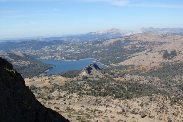
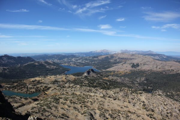
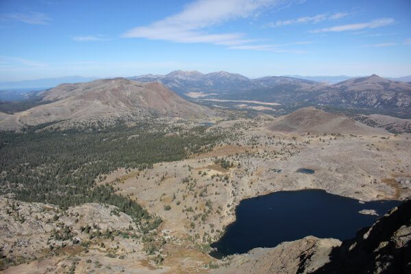
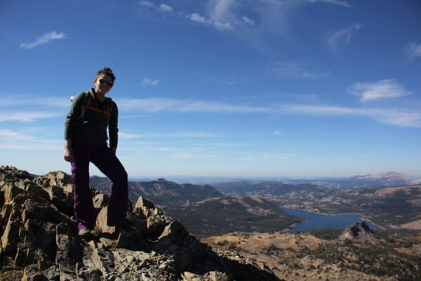
Round Top Peak has been one of those elusive peaks on my Tahoe to-do list. Every time I’ve tried to attempt it, something hasn’t quite worked out: someone’s sick, couldn’t make it to Tahoe. This weekend, Russ and I set off to do it! It was going to my first, his fifth.
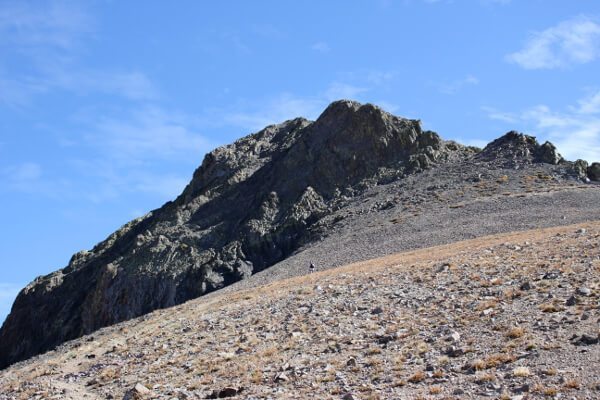
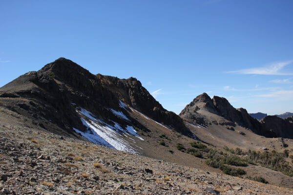
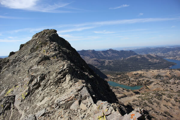
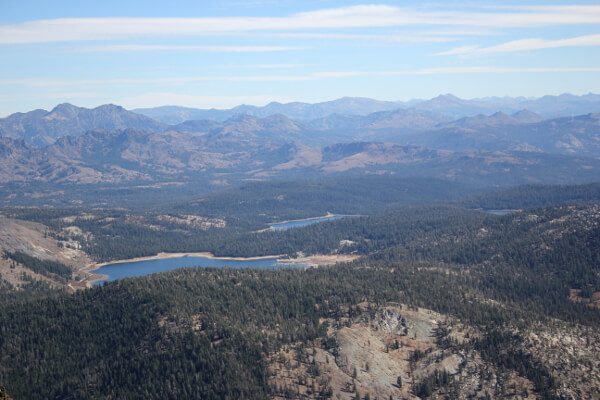
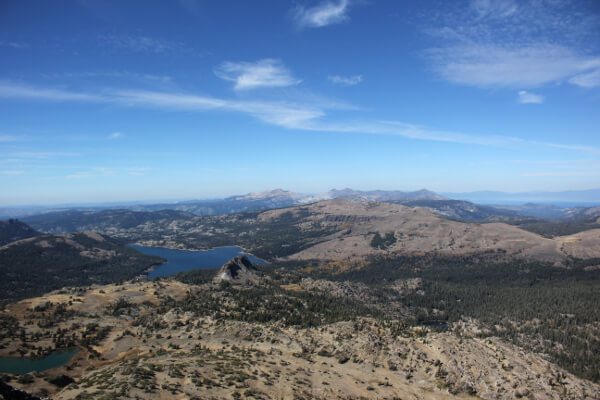
We headed out from the Bay Area early in the morning and got to the Woods Lake trailhead at around 11am. The skies were clear and blue; weather was in the 70s. It was an easy 2.5 miles in to Winnemucca Lake where we would split from the trail and head up the use trail to Round Top’s West summit. The trail until the last 500ft or so was well worn. Once we got into loose scree territory, it was a little difficult to follow, resulting in a choose your own adventure. Russ opted to stay here, and I continued on to check out the East summit, aka the true summit.
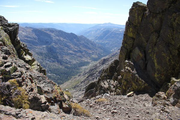
I traversed across the narrow ridge to the drop before climbing up to the summit. From what I’d read online, the East summit is a class 3 scramble with tons of scree and loose holds that were prone to snapping off. It looked so incredibly unappealing. I decided that I didn’t want to die that day and headed back to join my climbing partner.
We then made our way down the way we came up and went out by Round Top Lake and back to the Woods Lake trailhead.
Sometimes you plan on a really long day out. Sometimes those plans get cut short because you’re captivated by the beauty around you.
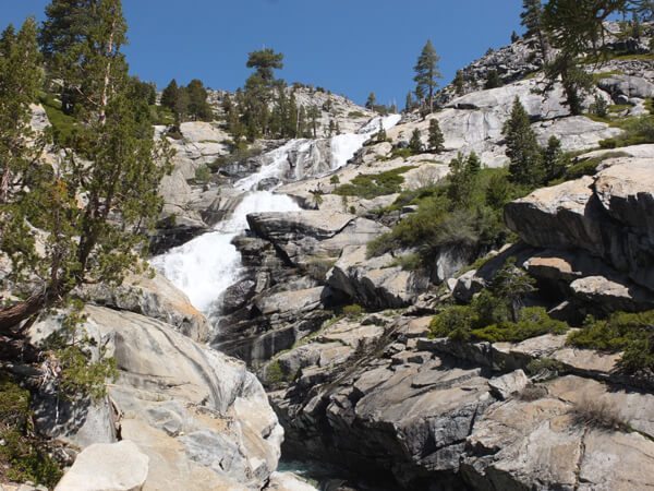
That’s what happened to me this weekend. I set out to hike up Horsetail Falls into Desolation Wilderness backcountry and out to Lake Aloha. Ropi Lake cut me short.
Hike: Eagle Falls and Eagle Lake
Where: Desolation Wilderness
Trailhead: Eagle Falls
Level: Easy
Duration: 2 hours
Length: 2.5 miles
Gear: Icebreaker Oasis Crewe long-sleeve, Camelbak Aventura Pack, Arcteryx Women’s Alpha SL Hybrid Jacket, Triple Aught Design Artemis Hoodie, REI Sahara Convertible Pants
, Black Diamond Ultra Distance Trekking Poles
, and Ahnu Sugarpine Waterproof Boot
Cost of Parking: Free off Emerald Bay Road or $3 at the trailhead
A few weeks ago the boyfriend and I hiked up the Bayview trail and peered down onto Eagle Lake. The next day, we decided to hike to Eagle Lake and peer up to where we were standing before.
This is a fairly mellow 2.5 miler out and back hike with views of Upper Eagle Falls, granite walls, and a clear blue Eagle Lake.

