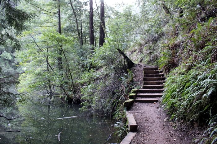
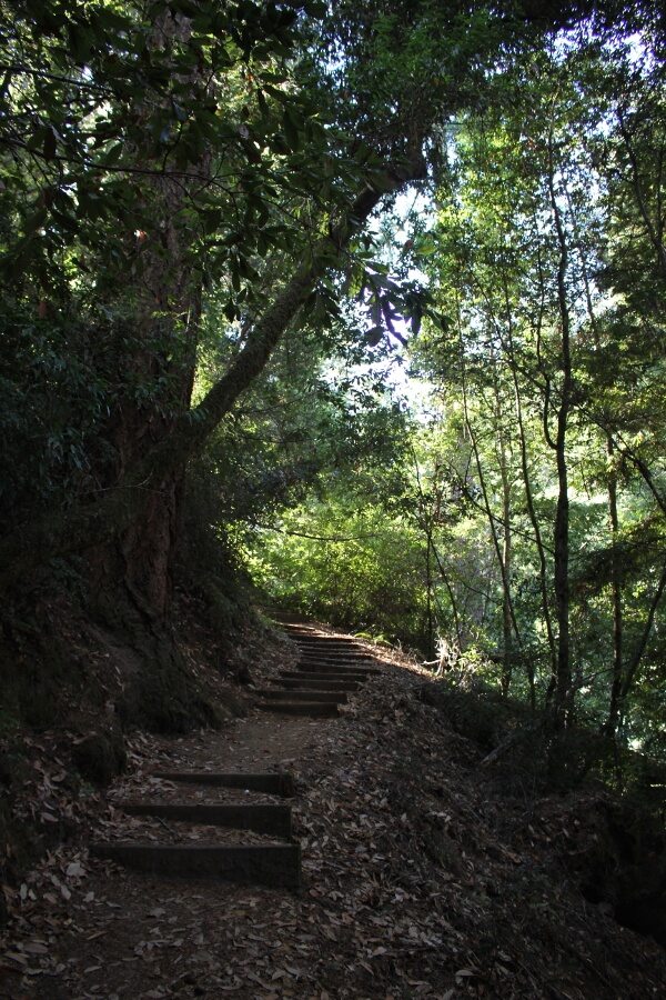
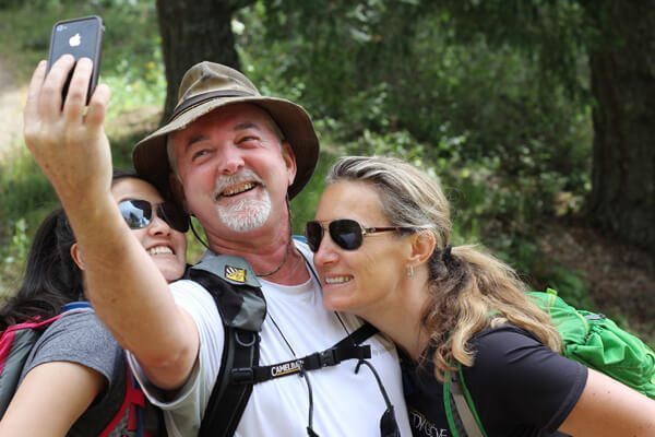
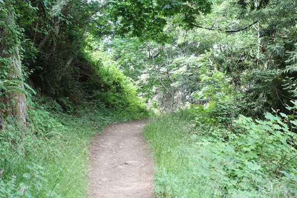
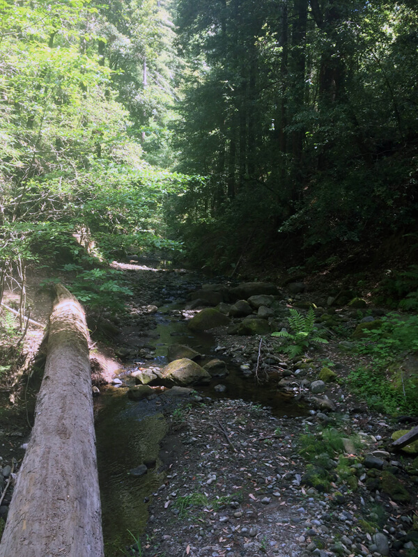
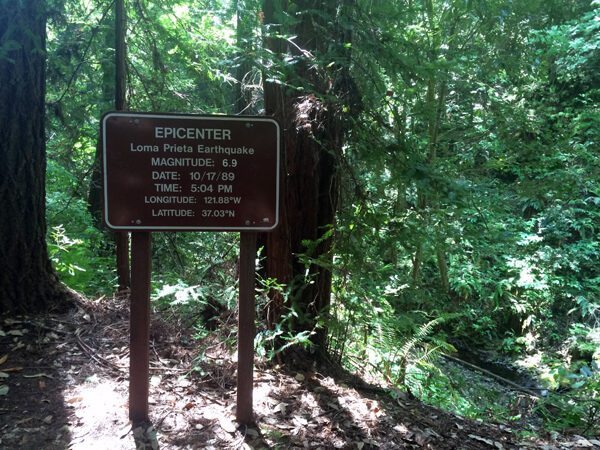
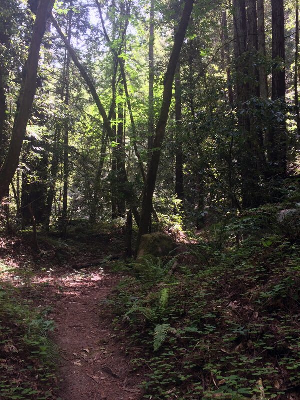
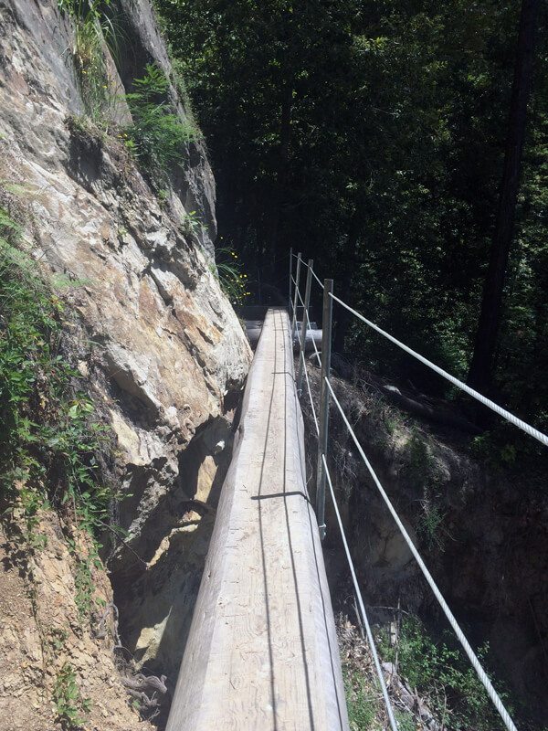
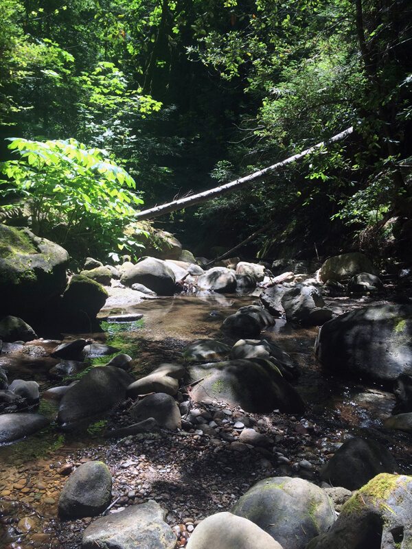
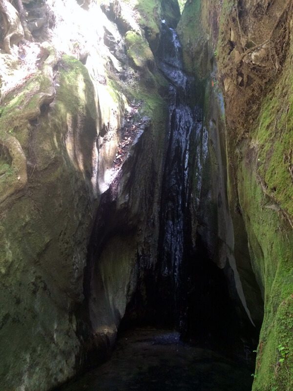
It’s been a hot minute since I’ve posted anything local. It’s also been a hot minute since the last time I went on a real hike that didn’t involve carrying a crash pad or a rope. With a supposed bad weather window everywhere within a reasonable driving distance, we opted to stay at home to attempt some Sierra peak bagging training. (Read: hiking and putting in miles cause it’s been forever and a day since my feet have actually hit the ground) I opted for my local favorite at Big Basin Redwoods State Park, Berry Creek Falls.
redwoods
The Bay Area is a treasure trove of lush forests dotted with redwoods and picturesque cascades. I set out to do an 8 mile loop up Cataract Trail to High Marsh Trail to Kent Trail to Helen Markt Trail a few weekends ago but turned around due to torrential downpour. Ideally last weekend would have been the most ideal weekend for the hike, but this past weekend was just as good and the falls were still flowing!
On Saturday morning, I set off to do a bit of solo hiking in Portola Redwoods State Park. I had a few hours to kill and wanted something a little more remote and quiet than the open space preserves in the area. This park is one of the hidden gems in the Bay Area, tucked away off of Skyline Blvd in La Honda, CA.
I decided to check out Tiptoe Falls in this severe drought to see if it still even existed. There are currently campground closures throughout the park and no running water throughout the park. My first stop would be Tiptoe Falls, approximately .5 miles away from the parking lot. The trail descended to Pescadero Creek, which had such low flow volume it appeared stagnant.
Hike: Whittemore Gulch, North Ridge, Craig Britton and Purisima Creek
Where: Purisima Creek Redwoods Open Space Preserve
Trailhead: Higgins-Purisima Road
Level: Moderate
Duration: 4 hours
Length: 9.9 miles
Gear: Outdoor Research Ignitor Tee, Outdoor Research Women’s Turbine Short, Farm to Feet Boulder sock, REI Flash 18 Pack
, Black Diamond Ultra Distance Trekking Poles – Pair
, and Ahnu Sugarpine Waterproof Boot
Cost of Parking: Free
I am super happy and excited to announce that I’m joining this year’s Hell Hike and Raft crew! I’ll be heading off to Idaho and Hell’s Canyon early September for three days of backpacking and three days of rafting with some stellar folks.
It just so happens that two of my teammates, Russ Beebe the Winehiker and Annie Yearout the OutdoorsyMama, are located in the Bay Area! We decided to have a little tweetup to get to know each other and do some mild training for the trip.
Our adventure began at the Higgins-Purisima Road, and we took off on the Whittemore Gulch trail to start climbing up the hills of the Santa Cruz Mountains listening to Annie exclaiming about the size and height of the redwoods.
After Whittemore Gulch ended, we turned right onto North Ridge Trail down to where it meets Harkins Ridge. From there, we hopped onto the Bay Area Ridge Trail which turned into Craig Britton Trail until we reached a picnic area. We split from the Craig Britton Trail and took the Purisima Creek Trail next to a tiny babbling Purisima Creek back to the trailhead.
It was lots of fun meeting up with some of the Hell Hike and Raft crew! Say hi to Russ on Twitter, and stop by Annie’s blog!
Hike: Five Finger Falls
Where: Forest of Nisene Marks
Trailhead: Porter Family Picnic Area
Level: Moderate
Duration: 5 hours
Length: 10.2 miles
Gear: Icebreaker Women’s Tech T Lite T-Shirt, Darn Tough Light Hiker Micro Crew Socks – Women’s
, REI Flash 18 Pack
, Ahnu Sugarpine Boots, Outdoor Research Contour Shorts, and Black Diamond Ultra Distance Trekking Poles
Cost of Parking: $8
The Forest of Nisene Marks in Aptos, CA is one of those little known gems in the Bay Area. Trails wind through the Santa Cruz Mountains under second-growth redwoods, next to trickling creeks.
I set off to explore Five Finger Falls here after hearing many great things about it. The trail was long and semi-strenuous. I started at the Porter Famil Picnic Area and headed up the Aptos Creek Fire Road for a little over a mile. From there, there was a sign to Aptos Creek Trail out to Five Finger Falls. The hike begins off fairly mellow, but around 4 miles out, it begins to wind up some steep switchbacks.
The falls and Aptos Creek were flowing, but barely! The falls were just a small trickle into a basin of water. It was beautiful, but a little disappointing. This is a hike I will want to do again after torrential downpour to really experience the magnificence of the falls.