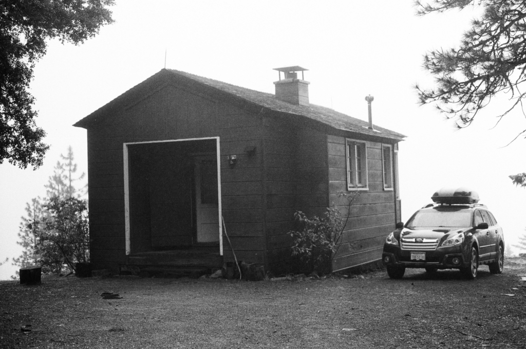
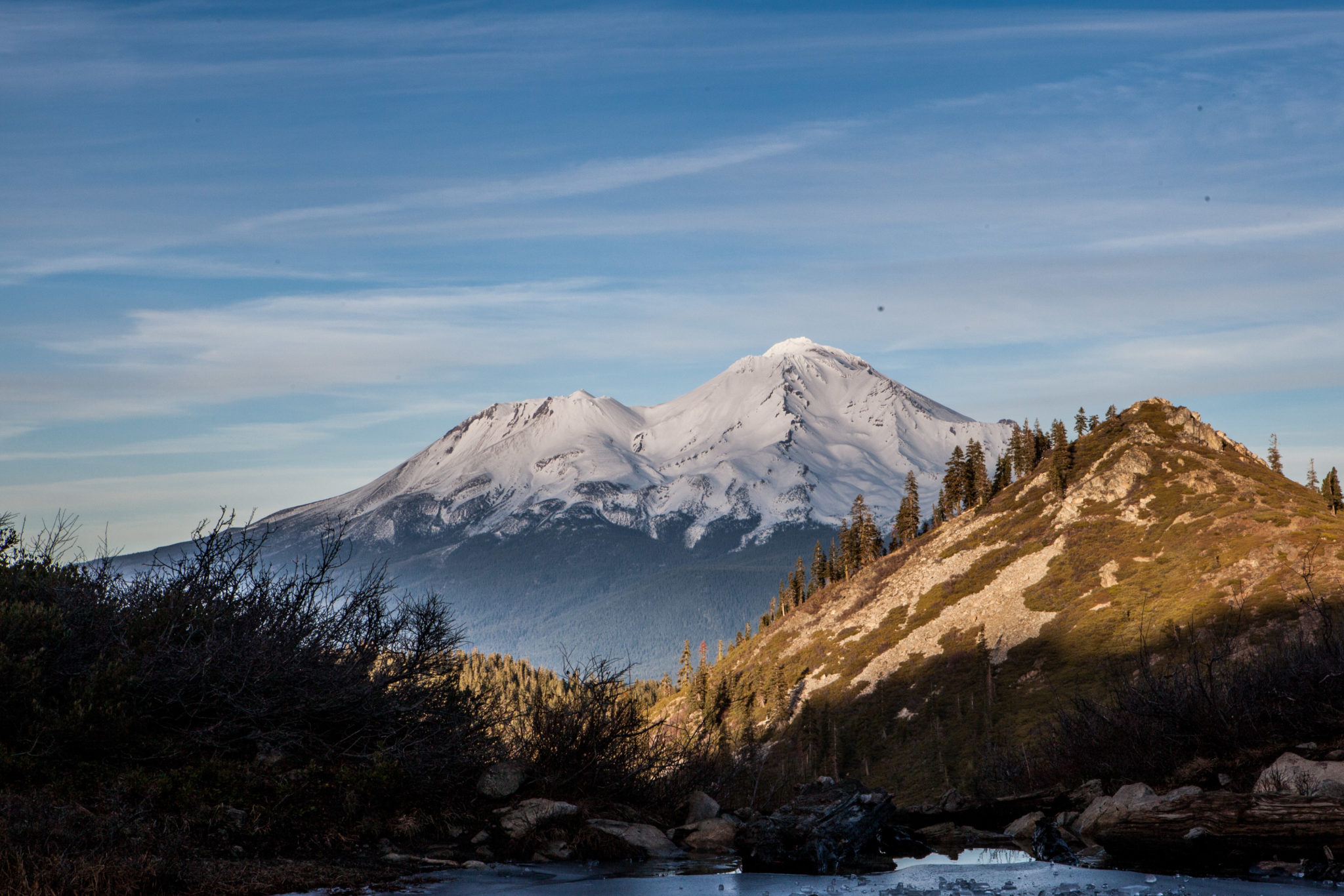
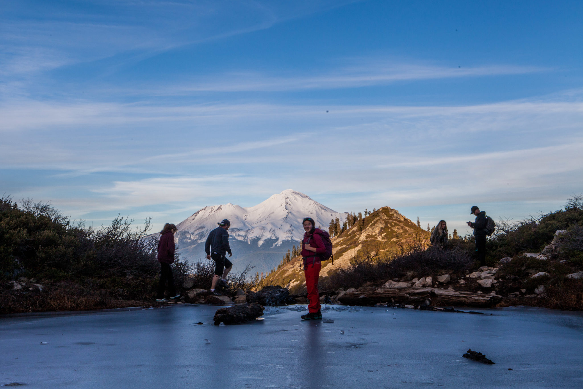
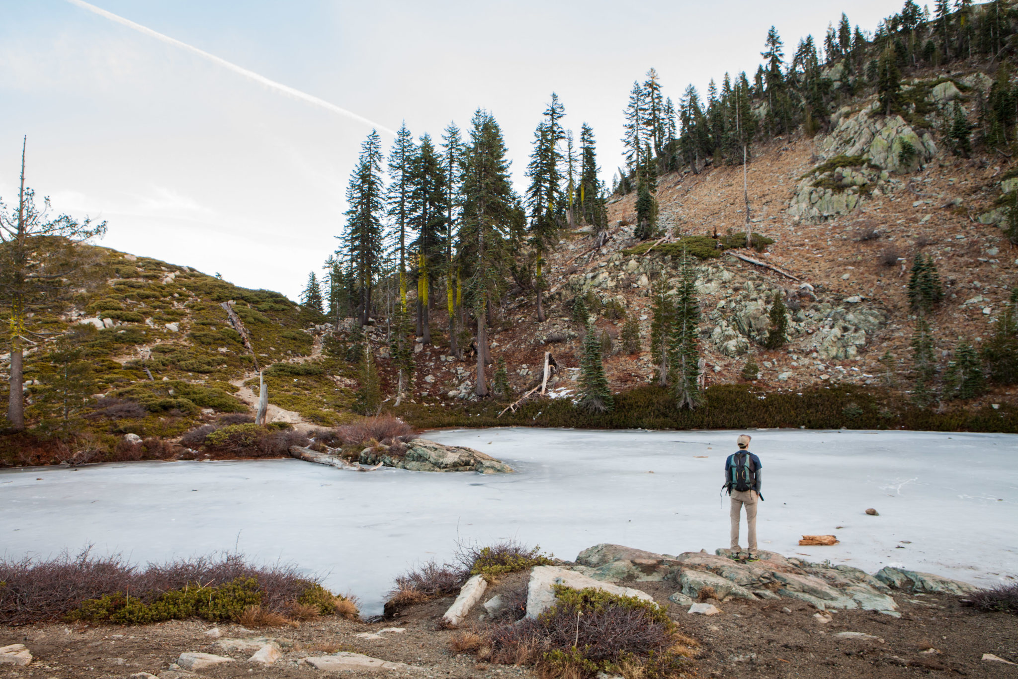
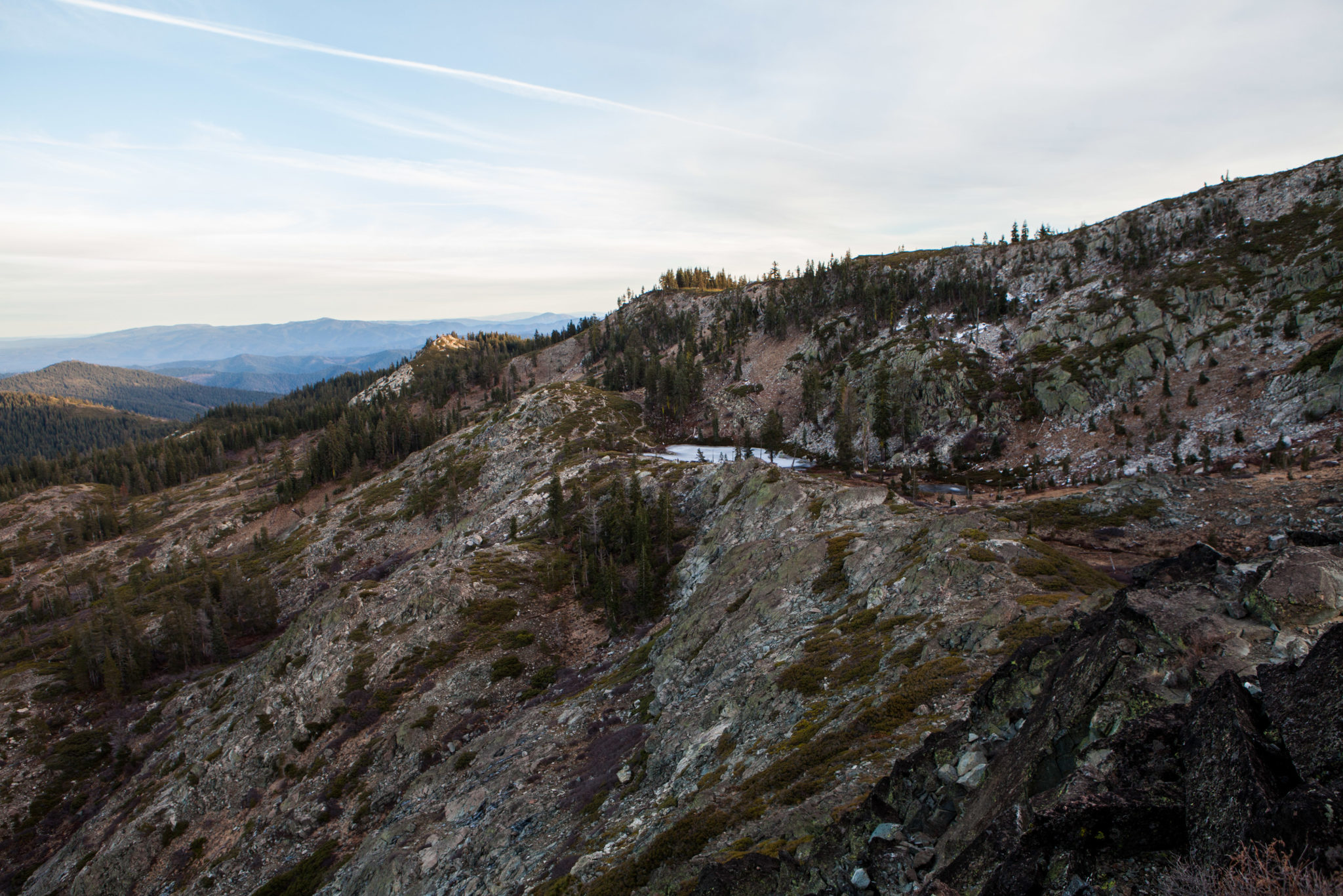
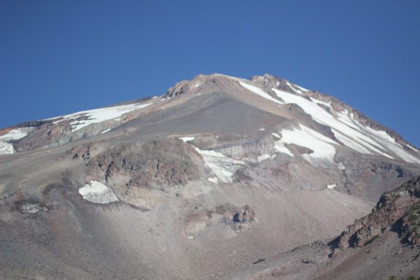
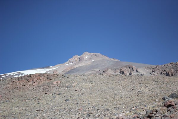
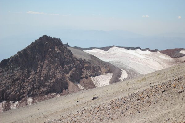
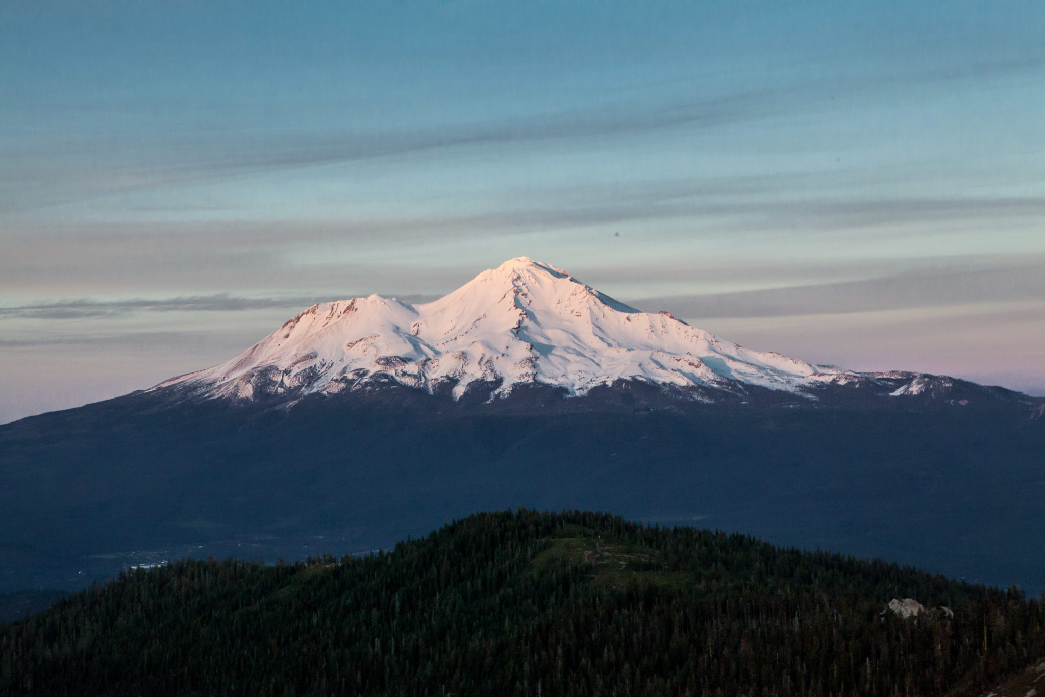
Mount Shasta dominates the landscape in Northern California, but this area is home to many hidden gems. Built in 1934 by the Civilian Conservation Corps for use as a wildfire lookout, the Post Creek Guard Station is now a quiet getaway for those seeking an escape from the hustle and bustle of everyday life. With no cell service, this little cabin in the woods is the perfect place to quarantine and relax.
shasta-trinity national forest
Over a three day weekend, I had the chance to head up Siskiyou County, or the area near the behemoth that is Mount Shasta. Our first stop was a 3 mile hike to Heart Lake in Shasta-Trinity National Forest.
The trailhead for Heart Lake begins at Castle Lake, a 7 mile paved drive from the enormous Lake Siskiyou. Don’t laugh at the 1.5 miles to Heart Lake. Sitting at 5,280’, folks coming straight from sea level (like me) might struggle a bit. The elevation gain will get your thighs burning, too.
The trail winds around the east side of Castle Lake. For fun, we hiked the west side until the trail disappeared. We considered bushwhacking up to the cliffs where Heart Lake was but decided it was too miserable. We retraced our steps to the proper beginning of the Heart Lake trail, just past the picnic tables and the boat put-in area.
The actual Heart Lake trail begins by crossing the outlet of Castle Lake. There are some slippery rocks to carefully hop across, or just plunge right through. It then begins to gradually ascend above Castle Lake. Here, the trail mostly compact dirt, with the occasional root or two.
As the Heart Lake trail climbs out of the forest, it becomes more rocky. Watch your step. It will seem like you won’t be able to see Mount Shasta behind a pesky little hill. Keep climbing up north west and you’ll start to see Shasta peak out. The trail becomes a little hard to follow, but keep heading north towards a rocky knoll. The trail descends between the knoll and the cliffs.
Soon, you’ll see Heart Lake, a tiny but impressive lake with magnificent views of Mount Shasta. Few lakes are more stunning. We had hiked up for sunset and wanted to take in more of the mountain.
We crossed Heart Lake, frozen at the time, and continued up the ridgeline up a faint trail until Mount Shasta and all her glory was in sight. If you continue to follow this trail, it will take you to the summit of Castle Peak. We didn’t continue up and backtracked our steps to the car and straight to dinner.
Hiking Heart Lake in January
When we hiked to the lake over the 2018 MLK weekend, California had received little to no rain or snowfall. The trail was relatively clear with a few icy patches near Heart Lake. The lake was completely frozen over.
Normally, the Mount Shasta and Lassen area receives the most snow in all of California. This year, it’s still relatively bare. Please note that these conditions are not normal and should not be expected when you hike Heart Lake in the winter.
This post was created in partnership with Discover Siskiyou. Thank you for hosting us over the long weekend.
Hike: Mt. Shasta
Where: Shasta-Trinity National Forest
Trailhead: Clear Creek
Level: Strenuous
Duration: 9 hours
Length: 12~ miles out and back total to summit
Gear: Icebreaker Tech T Lite shirt, Triple Aught Design Artemis Hoodie, REI Sahara Pants, Black Diamond Ultra Distance trekking poles, CamelBak Aventura Pack, and Ahnu Sugarpine Boots
Cost of Parking: Free, but summit permit is $20 per person
Mt. Shasta, Mt. Shasta, Mt. Shasta, you got the best of me this time, but I’ll be back. Just you wait and see. Friday afternoon after work, the boyfriend and I drove up to the Clear Creek trailhead to camp out and hike up Shasta the next morning with a Meetup group. We ended up getting in later than expected after driving around in the middle of the forest squinting at all the little forest road signs. We attempted to sleep in the car to save time instead of setting up tent, but it became insanely hot. Cars and people trickled in noisily and slowly after 11pm.
We started our adventure at 6am. Coming from sea level and hiking with lack of sleep made our progress extremely slow. The first few miles of the hike are fairly moderate with a gradual incline to Clear Creek Meadow. Clear Creek Meadow seemed to be the destination of choice for overnight attempts at the summit; we ran into tons of quiet and empty tents next to a clear, babbling spring. After Clear Creek Meadow, the fun really begins.