Hike: Deer Creek Road & Big Four Picnic Area
Where: Mountain Loop Highway
Trailhead: Winter Gate before the Big Four Picnic Area
Level: Moderate
Duration: 6 hours
Length: 6 miles out and back on Deer Creek, and 4 miles out and back to the Big Four Picnic Area
Fitbit Steps: Approximately 30,000
Gear: MSR Women’s Lightning Ascent Snowshoes, Icebreaker Kid’s Compass Legging
, Outdoor Research Valhalla pants, Sierra Designs Tov jacket, Triple Aught Design Artemis hoodie, Icebreaker Women’s Everyday LS Crewe
, Arcteryx Women’s Alpha SL Hybrid Jacket
, Arcteryx Kea 45 Backpack
, Outdoor Research Longhouse Gloves, Black Diamond First Strike Junior Trekking Poles
Cost of Parking: Free
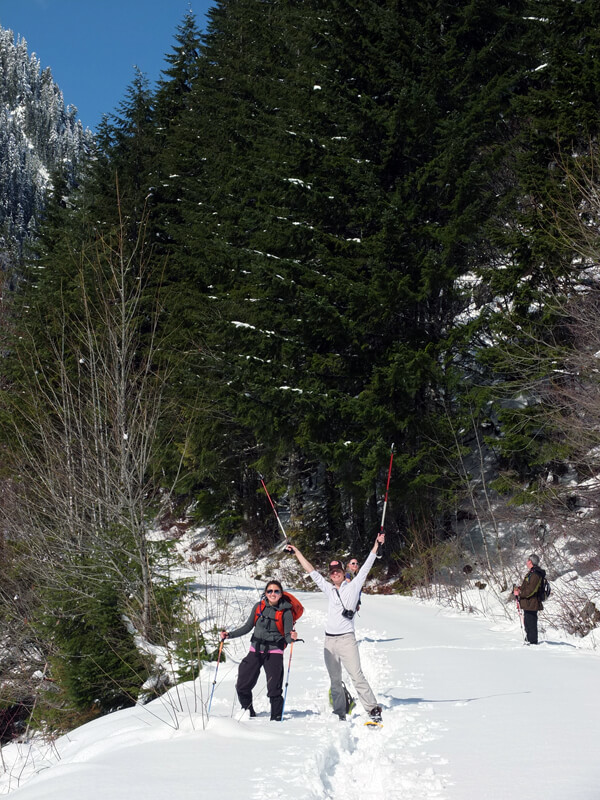
The boyfriend and I made our way up to Seattle this past weekend to celebrate my big 2-4 birthday! Officially in my mid-twenties, wahoo! We met up with some #hikerchat friends, Lee, Jessica, Josh, Beau and Mike, and took a jaunt to the Mountain Loop Highway area.
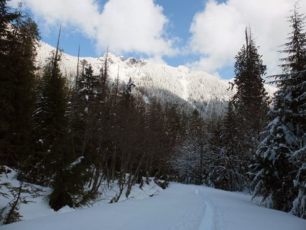
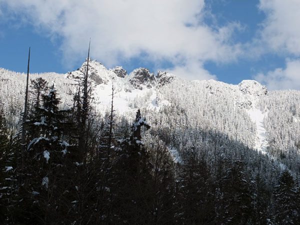
First, we headed up Deer Creek Road in search of a clearing that provided spectacular views of the mountains. We broke trail in two feet of powder. To anyone who went up there this weekend, you are welcome. ;)
After about three miles of exhausting work, we decided to turn around and head down the road to the Big Four Picnic Area.
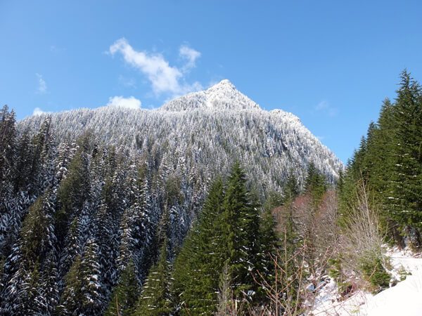
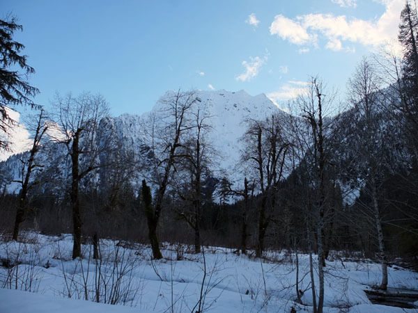
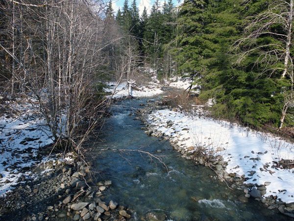
The road was fairly well-trodden and flat, but snowshoes (or skis!) make it easier to manage. The road takes you along the river with unobstructed views of the surrounding peaks, and the Big Four Picnic Area is a prime avalanche watching area. Unfortunately, we got there a little late and just missed an avalanche coming down Big Four Mountain.
It was exhilarating finally getting some real winter in! The Mountain Loop area was absolutely beautiful, and I can’t wait to come back. Many, many thanks to Lee, Jessica, Josh, Beau and Mike, for hanging out!

